
The Road Reality of the Khasi Hills
Planning a trip across Meghalaya can be deceptive. On a map, the distances between hubs look minor. From Guwahati Airport to Shillong is just 120 kilometers; from Shillong to Cherrapunjee is barely 54 kilometers; and from Cherrapunjee to Dawki is roughly 80 kilometers. In a typical plains environment, these drives would take an hour or two. In the East Khasi Hills, however, distances are measured in curves, vertical climbs, and fog banks rather than kilometers.
This guide is written to help first-time travelers understand the actual on-ground timeline of the classic Shillong–Cherrapunjee–Dawki circuit. Having driven these mountain passes for years, we know that successful travel here requires matching your schedule to the terrain, not to theoretical map calculations. A rushed itinerary in Meghalaya is a missed experience; the landscape demands that you slow down, stop for local tea at roadside wooden stalls, and step out into the mist.
Stage 1: The Ascent from Guwahati to Shillong
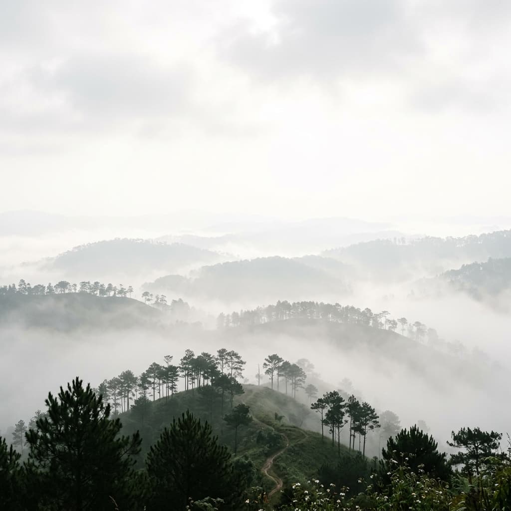
Your journey begins at Guwahati Airport or Railway Station in Assam. The drive starts along the flat Brahmaputra plains before crossing the state border at Khanapara and climbing into Meghalaya. Within forty kilometers, the air cools and the dry plains transition into dense pine forests and mountain ridges. The primary landmark on this stretch is Umiam Lake (locally known as Barapani), a massive reservoir surrounded by pine-covered hills. While many tourist taxis stop only briefly at the view-point, we recommend taking a slow walk along the quieter northern embankment where local fishermen paddle traditional wooden dugouts.
Entering Shillong, you are greeted by an old colonial pine ridge city situated at 4,900 feet. Shillong is the historic hub of the region, and while parts of it have grown into bustling markets, its heritage remains visible. Spend your first afternoon exploring the quiet walking paths around Ward's Lake, visiting the Cathedral Catholic Church—a beautiful blue-stone structure built by German missionaries—and touring the Don Bosco Museum, which offers seven floors of deep, respectful insights into the diverse indigenous cultures of Northeast India's eight states.
For a scenic sunset view, bypass the crowded Shillong Peak viewpoint and head to Laitlum Canyons, situated on the eastern edge of the Shillong plateau. Laitlum translates directly to 'The End of Hills,' and the description is literal. Here, the grassy meadows terminate abruptly at a vertical precipice that drops three thousand feet into the lush, green gorge of the Smit Valley. Watch the clouds rise from the valley floor and shroud the tiny hamlet of Rasong below, which is connected to the plateau only by a steep flight of three thousand stone steps.
For more circuit details, you can view our complete Meghalaya Highlands Circuit Itinerary.
Stage 2: Journeying South to Sohra (Cherrapunjee)
Leaving Shillong, the route heads south towards Sohra (the historical name for Cherrapunjee). The transition from the pine ridges of Shillong to the tablelands of Sohra is dramatic. The road passes over the Mawkdok Dympep Valley Bridge, where a deep V-shaped canyon opens up on both sides. This is the entrance to the wettest plateau on Earth. Due to the high altitude and unique geography, moisture-laden clouds from the Bay of Bengal hit these cliffs directly, resulting in heavy rains and persistent fog.
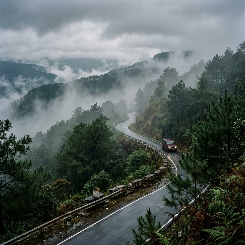
Driving this stretch requires caution. Fog can reduce visibility to less than five meters within a matter of minutes. Our drivers are trained to navigate using the yellow white road paint and local landmark cues, but we recommend scheduling all drives between Sohra and Shillong in the morning hours to avoid peak afternoon fog blocks. Along the way, take the detour to the Mawphlang Sacred Forest, an ancient grove preserved for centuries by the Khasi people. Here, no plants, stones, or wood may be removed from the forest floor—a simple, strict local conservation rule that has kept this mossy old-growth forest completely intact.
Stage 3: Waterfalls and Valleys of Sohra
Sohra is defined by its vertical cliffs and spectacular water drops. The town is situated on a high plateau that drops precipitously into the plains of Bangladesh. In the summer monsoons (June to September), Sohra is alive with hundreds of active cascades. Nohkalikai Falls, the tallest plunge waterfall in India, drops 1,115 feet into a deep turquoise pool. Further along, the Seven Sisters Falls cascades down a wide limestone cliff face, while Kynrem Falls offers a triple-tiered drop visible from the roadside.
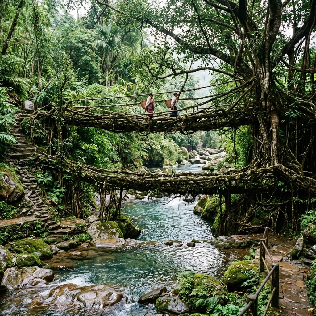
However, the true highlight of Sohra lies in the valleys below. The village of Nongriat is located at the bottom of the gorge, accessible only by a steep descent of 3,000 stone steps. Crossing suspended wire bridges over turquoise mountain streams, you reach the Nongriat Double Decker Living Root Bridge. These bridges are not built; they are grown. Generations of Khasi villagers have guided the aerial roots of the Ficus elastica tree across the river using hollowed-out betel nut trunks, creating living, self-strengthening bridges that withstand the region's extreme monsoons.
Read our specialized stop-by-stop guide, Chasing Waterfalls in Cherrapunjee, to plan your visits to Wei Sawdong and other hidden drops.
Stage 4: The Southern Border Plains of Dawki and Shnongpdeng
From the high cliffs of Sohra, the route descends southwards towards the Indo-Bangladesh border plains. Here, the terrain transitions into tropical river valleys. The air grows warmer and the rivers run clear. Along the route lies Mawlynnong, celebrated for its community-led cleanliness protocols, where villagers sweep the pathways and collect leaf litter in hand-woven bamboo baskets. Nearby, in the hamlet of Riwai, you can cross a single-span living root bridge that is easily accessible without the strenuous climb required for Nongriat.
The final stop on this circuit is Dawki and the Umngot River at Shnongpdeng. The Umngot River is famous for its extreme clarity; in the dry winter months (November to February), the water is so transparent that boats paddling on its surface appear to float in mid-air. We recommend staying overnight in a riverside camp or a simple local homestay in Shnongpdeng. Here, you can fall asleep to the sound of the river and spend the next morning canoeing or kayaking along the deep limestone gorge.
Practical Tips for the Circuit
- Road Conditions: The main highway from Guwahati to Shillong is a smooth four-lane road, but the routes to Cherrapunjee and Dawki are two-lane mountain roads that require careful driving.
- Local Culture: Meghalaya is a matrilineal society, and the Khasi people maintain deep ties to their land and forests. Always seek permission before entering community forests or taking photographs of locals.
- What to Pack: Sturdy walking shoes with good grip are essential for trekking in Nongriat or descending to Wei Sawdong. Carry an umbrella or light raincoat regardless of the season.